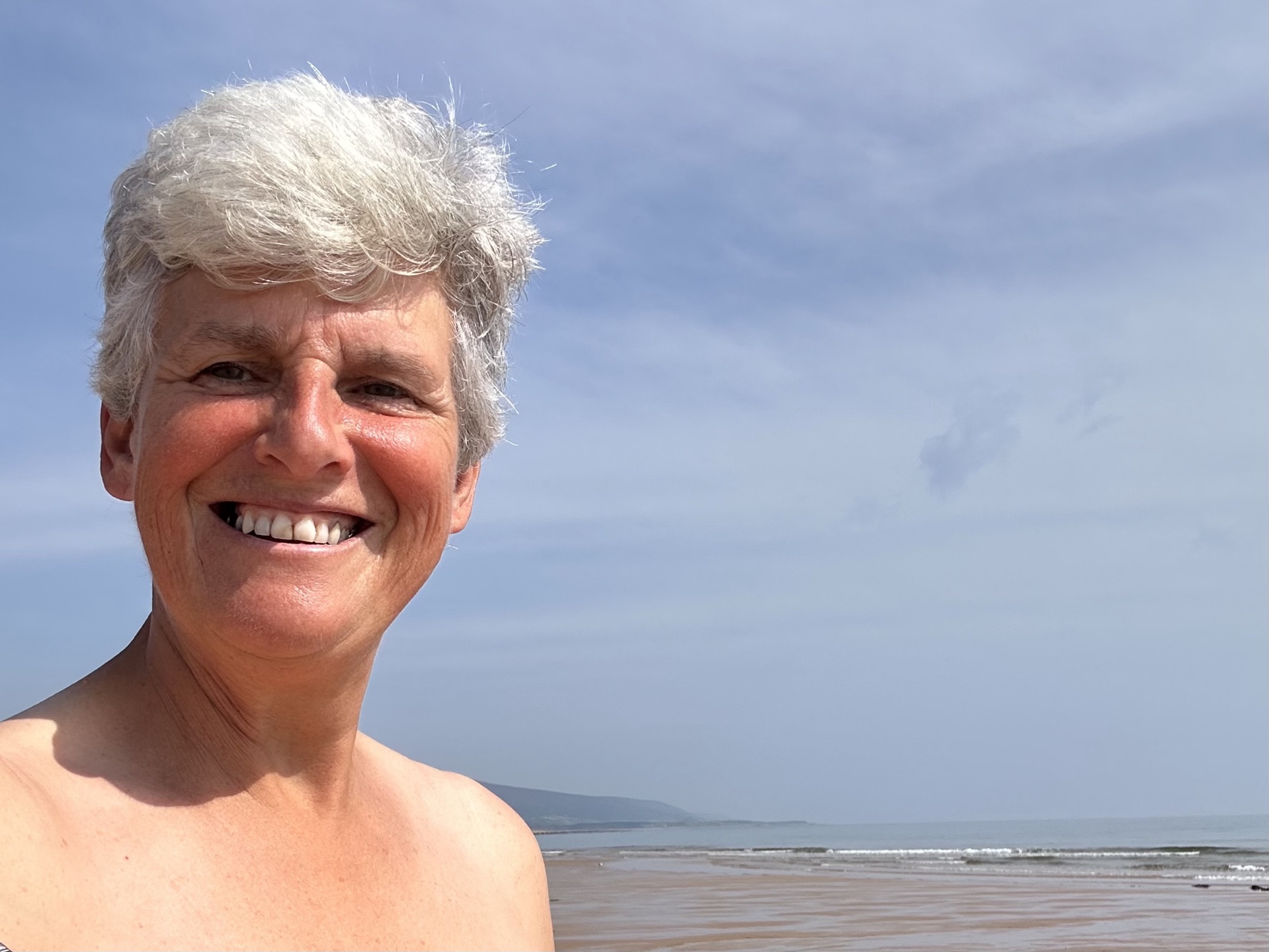
Best bits: beach walking on sand
Worst bits: Road closure, pebbles and very large rocks
Distance: 19.9 miles
I was up early again this morning to catch the bus back to Golspie. The bus stop was listed as Helmsdale petrol station. I think it’s been a while since it was functioning!

The weather forecast was for thunder showers this afternoon so I packed my waterproofs. Having read the guidebook for this section last night, I was very apprehensive about crossing the Loth Burn. As I travelled along on the bus journey, I looked out of the window at the route I would be taking today.
It was quite warm when I arrived at Golspie and it wasn’t long before I had to take off a layer of clothing. The tide was out and the sea was very calm and flat and I was hoping that that would last for the rest of the day.

It wasn’t long before I arrived at Dunrobin Castle, which is a beautiful fairytale castle and apparently has 189 rooms. Great photo opportunities.

As I walked on a path between woodland and the shore it was very quiet and peaceful, not a sound at all not even any birds. It was such a difference to the noise of traffic. Have had for many days now.
As the tide was out I was able to walk a couple of miles along the sandy beach before it turned to pebbles which made the going much more challenging. I came into the village of Bora and went straight to Cocoa Skye cafe for refreshments.
I bought another bottle of water as it was so hot today. I bypassed the golf course and went down onto the beach where I walked for quite a while and there were only a few people on it.

I had to cross a few small streams but they were easy enough. At one point I was being dive-bombed by some birds that had their young with them and they were trying to protect them. It was quite alarming at times as they came screeching towards me at great speed.

The John O’Groats Trail is not fully established yet and in some places the path completely disappears. At one point the path has to squeeze along the side of the coast next to the railway and the road. This section is quite dangerous as it comprises large rocks that are obviously sea defences for the railway.

About 30 seconds after this photo was taken, whoosh, my right leg suddenly disappeared down a crevice between the big rocks and I was sooo much closer to the ground. A quick check and everything was ok just a scrape. Fortunately for me I wasn’t walking very quickly otherwise I’m very sure I would’ve broken my leg or at the very least ripped open the flesh. A very lucky escape.
Later I saw a seal on a small rock, clearly it was sun bathing then I spotted another one on a nearby rock and finally some more on the shore. I was quite close to them. They’ve got the cutest faces and little whiskers and they’re very inquisitive but it’s dangerous to get too close.

The sand had disappeared and all that was left behind was large rocks and pebbles. This made walking progress very slow.
The guidebook said that one of the most challenging things today section was crossing the Loth burn. Between the guidebook and the website it seems like at times this could be a raging torrent and could be chest deep and up to 4 or 5 m wide. I have been quite apprehensive about this all morning. When I reached this point, it was wide but not very deep so I walked along a little bit to see where it might be the narrowest and shallowest point and what did I find a brand spanking new bridge. Hallelujah.

The next beach is officially a nudist beach and indeed there were a couple of people in the buff. Anyone who knows me would know I considered joining them!

After walking through a few remote caravan and camping parks and chatting to a few of the locals another beach awaited me. I took the opportunity to sit down and refresh taking on board fluids and some food. I had another 7 miles to walk from this point. Fortunately, the temperature had dropped a little giving some well needed respite from the heat. The tide was on its way in and I hoped that I could get round the headland before it came in completely.
I realised that all of those concrete blocks, the anti tank defence walls don’t appear here on this coast. Perhaps we didn’t think the Germans would want to land here.
Another of the small streams coming down into the sea needed to be crossed. It was quite wide but narrower near the sea so I decided there was nothing for it. I just had to jump across. The bank was quite high where it had cut through the sand. I ran and then took off only for the sandbank to collapse under my takeoff leg and I landed with a splash in the middle of the stream. That made me laugh.
Another dodgy section of the path by the railway line required careful navigation over it. it was actually much higher than this looks.

After crossing the railway line the path took me uphill and the wind suddenly got up. This diversion inland went uphill for an unnecessary distance especially when the end point was in sight! Finally after nearly 20 miles in the heat I was back at Priscilla

After a lay down and a shower I left for my next stop. On my way to Dunbeth, the A9 was closed from 7 pm. I arrived at 7:05 pm. There was a queue of traffic waiting to be escorted through the closure which wasn’t until 8pm. Typically, people were very impatient and kept getting out of their cars to take a look at what was happening. One family even got their kids out of their vehicle and one was on a bicycle. The wind had got up and was rocking Priscilla.
I had my first impression of tomorrow’s route during the drive and I have to say it took me a little by surprise. This area is extremely hilly. The cliffs are quite high and there was quite a lot of steep ascents and descents. Oh well let’s see what tomorrow brings.


Leave a Reply